lifestyle
Inside look at the neighbourhood character and community vibe: Navigating Seattle
Beyond the grid, Seattle’s distinctive transit routes offer a window into the varied pulse of our city’s diverse districts.
3 min read
lifestyle
Beyond the grid, Seattle’s distinctive transit routes offer a window into the varied pulse of our city’s diverse districts.
3 min read
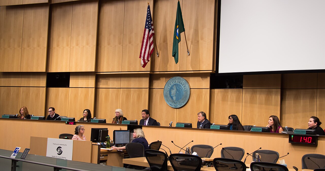
Seattle’s transit network serves as more than a municipal utility; it acts as the connective tissue linking the distinct personas of the city’s various neighborhoods. As residents adjust their daily routines to the updated service patterns of King County Metro and Sound Transit, the way we traverse the city fundamentally alters our engagement with its local culture. Moving from the dense, vertical energy of Belltown to the quieter, residential tree-lined corridors of Columbia City requires a shift in pace that is best experienced through the city's bus lines and light rail system.
The character of Seattle is best observed along the RapidRide lines that slice through the urban core. A trip on the RapidRide C Line provides a clear transition from the central business district down to the West Seattle junction, where the community vibe shifts toward a coastal, small-town independence. This contrasts sharply with the experience of catching the Link light rail from the University of Washington station down to the International District/Chinatown. The transition from the academic intensity surrounding the university campus to the historical and culinary heritage found near Hing Hay Park is one of the most efficient ways to witness the city's demographic and architectural evolution.
Understanding these transit corridors is essential for anyone looking to tap into the specific rhythm of a neighborhood. In areas like Capitol Hill, the density of the built environment and the proximity of the light rail station at Broadway and John Street encourage a pedestrian-focused lifestyle. Conversely, transit in the deeper northern or southern reaches of the city often necessitates a blend of bus connections, requiring a different approach to social planning. Recent data from the Washington State Department of Transportation highlights how transit-oriented development continues to influence housing and commercial density along the Northgate and Roosevelt station corridors.
Navigation remains a central concern for the city’s population as local agencies finalize infrastructure improvements. The integration of the ORCA card system across various transit authorities provides a unified payment method, simplifying what can otherwise be a complex web of overlapping bus, rail, and ferry routes. For those commuting from Bainbridge Island or Vashon Island, the Washington State Ferries system remains the lifeblood of the commute, dictating the schedule of thousands who balance work in the city with life on the islands. Accessing these services frequently involves navigating the bustling waterfront near the Colman Dock, which has undergone significant recent redevelopment.
As we look toward the remainder of the year, commuters should monitor the King County Metro service updates for any adjustments to frequency, particularly as seasonal demand fluctuates. The most reliable way to navigate the city remains utilizing real-time tracking apps provided by Sound Transit, which offer the most accurate arrival estimates for the light rail platforms. Engaging with the city’s transport network is not merely about reaching a destination; it is an exercise in understanding the shifting boundaries of Seattle’s neighborhoods, from the industrial edges of SODO to the established residential pockets of Ballard.

About this article
Published by The Daily Seattle
Spread the word
Daily brief
Free, in your inbox before 7am. Weekdays.